
New mapping technology enables a new way to command and manage your operations!
For a long time there has been a challenge to have up-to-date professional quality maps shared with your co-operatives and to form quickly a shared situational picture among them. A Finnish Mapitare Oy developed a brand new offline vector mapping technology which enables a easy quick way to join to share a situational picture and to lead, command and manage the operations in extreme circumstances.
Mapitare Oy is a Finnish technology start-up. Its corner stone is over 10 years of experience on security authority operative situational picture and field command systems. Our company provides complete mapping and location services and customer specific communication, mapping data and system interface services. We also integrate these services for your situational picture and field command system.
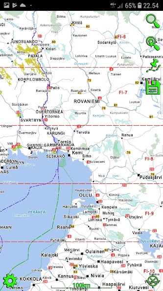
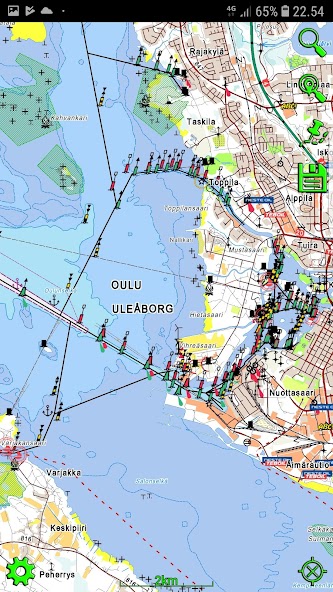
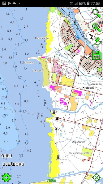
Our company has developed a completely new vector mapping technology which can be utilized platform and operating system independently (now Microsoft Windows, Linux, Mac OS X, Android and iOS). Technology makes it possible to download all maps of Finland, Sweden, Norway and Russia onto mobile devices without mapping scale restrictions. This secures high availability and quick response of maps in all operative conditions without need of loading of maps during critical actions.
The new mapping technology makes a excellent basis for operative situational picture and command systems. It leaves 100% of communication for messaging and location services during the operations, because the maps are already in your device. This makes it possible to use critical systems when only narrow-band communication is available. The location services operate also in situations when voice communication are not accessible in bad network situations. Our services enables the possibility to create ad hoc command and control room in challenging natural environments and which is easily accessible for persons from several countries.
 Download