
Chemins de Bretagne (trial version)
The "Chemin Brittany" application contains the 1/200,000 cards of Brittany and hiking routes. The cards were produced from OpenStreetMap data.
This evaluation version limits the duration of the sessions.
In use mode, the application only uses preloaded cards which are automatically selected depending on the current GPS position. The application only uses the network to preload cards. This operation is carried out at once. All mapping is stored in on -board files.
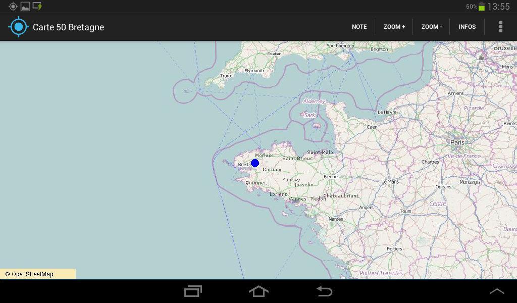
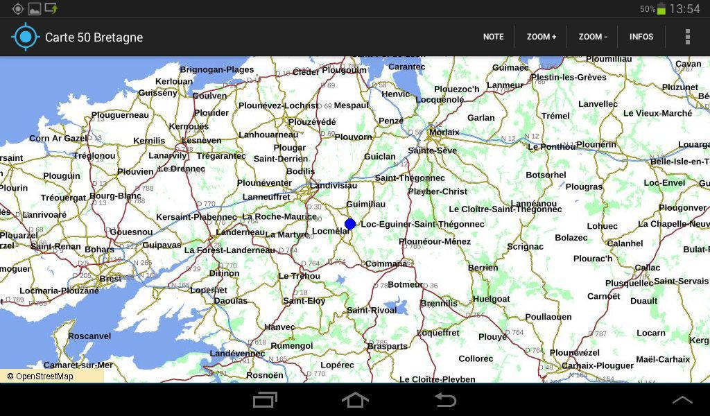
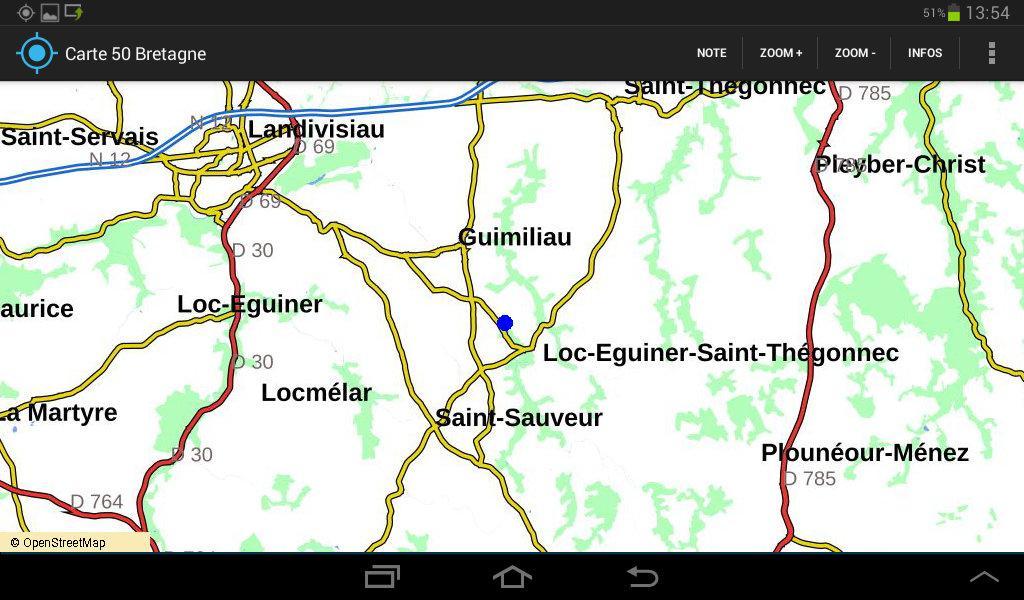
The application displays cards in such a way that the center of the card always corresponds to the current GPS position, unless you have moved the card manually by dragging it, and in the latter case, automatic centering on the GPS position is automatically reactivated after 30 seconds. When you move, whether on foot, by bike or by car, the card moves and focuses automatically on the current GPS position. A blue point appears on the map to indicate the current GPS position. The trips made are viewed by smaller blue dots.
The routes traveled can be saved in GPX files which will then be automatically visualized on the cards. It is also possible to deposit in the application directory, GPX files which will be automatically visualized on the cards.
The application includes a "topoguide" function for hiking in Brittany, especially for a set of circuits from 10 to 20km, and the Tour de Bretagne in 47 stages of around 20km, called Tro Breizh. This function is guidance in the field (GPS markup). In addition to visualizing the path on the map, the application indicates the route to follow in textual form (go straight, take the right path, ...). For each proposed route, the application provides an average of a GPS tag every 200m.
Works on tablet and smartphone. It takes 400mm of free on the SD card to be able to download the cartography. 4 50MB files will be downloaded successively, then assembled in a single file. On some smartphones or tablets, full download can take 30 minutes.
The application was tested on Samsung Galaxy Tab3, Tab4, Y, J1. There are a multitude of Android devices and the application may work badly, if not at all, on some of them. In this case, please report the problem.
Capture Specifier N ° 1: 1/6 400,000 card.
Capture SECRONE 2: 1/1000,000 card.
Capture Specifier 3: 1/400,000 card.
Capture SECRONE N ° 4: 1/100000 card.
Capture Specifier 5: 1/25000 card.
Screenshot n ° 6: Selection of a path in the topoguide.
Capture Specifier N ° 7: Display of the selected path
Capture Specifier N ° 8: Display of guidance information in the field
 Download